Hasankeyf
Hasankeyf (Kurdish: Heskîf, Greek: Kiphas, Turkish: Hasankeyf, Latin: Cepha, from Syriac: ܚܨܢ ܟܐܦܐ Ḥéṣn Kayfa) is an ancient town and district located along the Tigris River in the Batman Province in southeastern Turkey. It was declared a natural conservation area by Turkey in 1981.[1] Predominantly Arab before, a steady and significant Kurdish immigration from surrounding villages in the last 20-30 years has shifted the ethnic balance. Kurdish people form the majority of the city center today.[2]
Much of the city and its archeological sites are at risk of being flooded with the completion of the Ilisu Dam.
History
Hasankeyf is an ancient city, and has been identified with the Ilanṣura of the Mari Tablet (c. 1800 BC).[3] The Romans had built the Cephe fortress on the site and the city became the Kiphas fortress and a bishopric under the Byzantine Empire. It was conquered by the Arabs, in ca. 640, renamed Hisn Kayf. In the 12th century, the city was successively captured by the Artukids as their capital. During this period, Hasankeyf's golden age, the Artukids and Ayyubids built the Old Tigris Bridge, the Small Palace and the Great Palace. The infrastructure, location and significance of the city helped increase trade and made Hasankeyf a staging post on the Silk Road. The Ayyubids (descendants of Saladin) captured the city in 1232 and built the mosques that made Hasankeyf an important Islamic center.[4]
The city was captured and sacked by the Mongols in 1260. The city would rise from its ashes though as summer homes for Ak Koyunlu emirs were built. Following the Ottoman ascendancy established by Selim I in the region in the early 16th century, the city became part of the Ottoman Empire in 1515, during Sultan Süleyman I's campaign of Irakeyn (the two Iraqs, e.g. Arabian and Persian) in 1534, at the same time as Diyarbakır, Mosul, Baghdad and Basra.[4]
Population
The current population of Hasankeyf is predominantly Kurdish, Assyrians/Syriacs and Arabs also had a presence in the town.[5] Its Syriac Christian population was almost entirely annihilated during the Seyfo genocide in the First World War.[6]
Archeological sites
Hasankeyf is rich in history throughout the ages and aside from the sites below, thousands of caves exist in the cliffs that surround the city. Many of the caves are multi-storied and water-supplied. Churches and mosques were also carved into the cliffs and numerous ancient cemeteries exist throughout the area as well.[4]
- The Old Tigris Bridge – Built in 1116 by the Artuqid Sultan Fahrettin Karaaslan, it replaced an older bridge. The bridge over the Tigris River is considered to be the largest from the Medieval Period. Support for the bridge was built with wood in case the bridge had to be removed in order to prevent an attack. Because of this, two piles and some foundation work are all that exist of the bridge today.[4]
- The Citadel – This structure sits 100m above the Tigris River, overlooking Hasankeyf. The Citadel has likely been used as a dwelling place for centuries.
- Small Palace – This palace was built by the Ayyubids and overlooks Hasankeyf as it sits on a cliff.
- Ulu (Big) Mosque – With no inscriptions remaining, it is not exactly known when and by whom the mosque was built. However, it is thought that it dates from the period of the Ayyubids who have subsequently restored the mosque in the years 1327, 1394 and 1396.
- Great Palace – The palace was built by the Artukids; it occupies an area of 2,350 m² and has an associated rectangular tower that may have been a watchtower.[4]
- El Rizk Mosque – The Mosque was built in 1409 by the Ayyubid sultan Süleyman and stands on the bank of the Tigris River. The mosque also has a minaret that has remained intact.[4]
- Süleyman Mosque – This mosque was built by Sultan Süleyman and is all but destroyed except for a minaret. Süleyman's grave is missing from the site as well.
- Koc Mosque – The mosque is located east of the Süleyman Mosque and was likely built by the Ayyubids.[4]
- Kizlar Mosque – Located east of the Koc Mosque, the Kizlar mosque was also likely from the Ayyubid period as well. The section of the structure which is used as a mosque today was a mausoleum in the past, containing grave remnants.[4]
- Imam Abdullah Tomb – This cube-shaped tomb lies west of the new bridge in Hasankeyf and it the tomb of Imam Abdullah. Abdullah was the grandson of Cafer-i Tayyar, uncle of the prophet Mohammad. The tomb is dated to the 14th century and an epitaph on the tomb states that the tomb was restored in the Ayyubid period.[4]
- Zeynel Bey Mausoleum – Named after Zeynel Bey, this mausoleum is opposite Hasankeyf on the Tigris River. Zeynel Bey was the son of Uzun Hassan ruler of the Akkoyunlu Dynasty which ruled over Hasankeyf in the 15th century.[4] Zeynel Bey died in battle in 1473, and was buried in this circular brick mausoleum glazed with navy blue and turquoise tiles built by architect Pir Hasan. The building resembles in its archtectural style mausoleums in Central Asia.
A panoramic photo of Hasankeyf with the Tigris River in the background.
Ilısu Dam impact
With its history that spans nine civilizations, the archaeological and religious significance of Hasankeyf is considerable. Some of the city's historical treasures will be inundated if construction of the Ilısu Dam is completed.[7] These include the ornate mosques, Islamic tombs and cave churches.
According to the Bugday Association, based in Turkey, Ms. Huriye Küpeli, the prefect of Hasankeyf, the Swiss ambassador to Turkey and representatives of the Swiss led consortium of contractors for the dam project have suggested what they believe to be a suitable nearby spot for moving the historical heritage of Hasankeyf, an operation for which the Turkish Ministry of Culture pledges to provide 30 million euros.[8]
The threat of the Ilisu Dam project prompted the World Monuments Fund to list the city on its 2008 Watch List of the 100 Most Endangered Sites in the world.[9] It is hoped that this listing will create more awareness of the project and prompt the Ilisu Consortium to develop alternate plans that are more sympathetic to this site of exceptional historical and cultural significance.
In December 2008 export credit insurers in Austria, Germany and Switzerland announced suspending their support for the project amid concern about its environmental and cultural impact and gave the Turkish government 180 days to meet standards set by the World Bank.[10]
Climate
The local climate is affected by the Dicle River flowing through the city. It makes the winters milder, with the lowest temperatures of 6–8 °C. The summers are as hot as 40–43 °C and the yearly average temperature is 25 °C.[1]
See also
References
- ^ a b "Hasankeyf". Republic of Turkey Ministry of Culture and Tourism. http://www.kultur.gov.tr/EN/belge/2-20490/eski2yeni.html. Retrieved 2008-10-23.
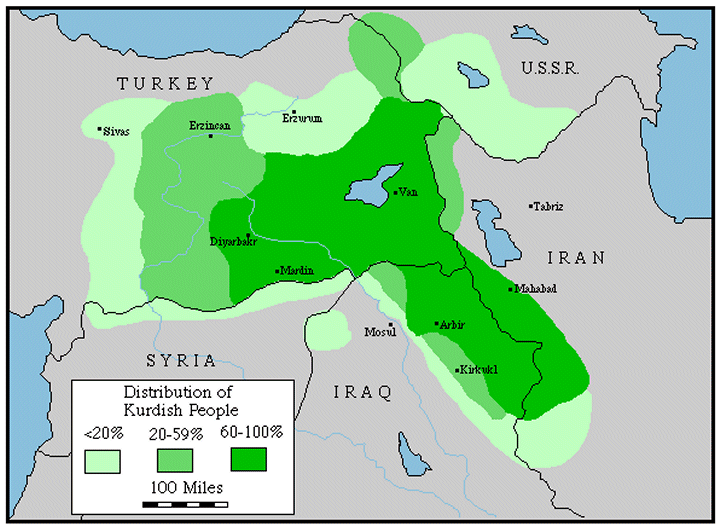
- ^ Distribution of Kurdish People — GlobalSecurity.org
- ^ Michael C. Astour, "The North Mesopotamian Kingdom of Ilansura", in Mari in Retrospect, American Oriental Society
- ^ a b c d e f g h i j Hasankeyf, justturkey, 1/2/2008; Batman, gap.gov.tr
- ^ Turkish history to sink to oblivion, Asia Times
- ^ Nuri Kino, Kurdish Selective Amnesia & the Endless Genocide of the Assyrians, DK Kultur
- ^ Ahmed, Kamal (2001-07-01). "UK drops Turkish dam plan". The Guardian News and Media Limited. http://observer.guardian.co.uk/international/story/0,6903,515248,00.html. Retrieved 2008-10-27.
- ^ Hasankeyf Raman Dağı'na taşınıyor
- ^ Davidson, Christina (November 2008). "Turkish Bath". The Atlantic Monthly. pp. 30–31. http://www.theatlantic.com/doc/200811/turkish-dams. Retrieved 2008-10-23.
- ^ Insurers halt work on Turkish dam, BBC World, 24 December 2008
- Blue Guide, Turkey, (ISBN 0-393-32137-1), p. 590.
External links
- ICOMOS Heritage at Risk 2006/2007: Hasankeyf, a Site Threatened by the Ilisu Dam Project
- Laura Smith-Spark (August 5, 2006). "Turkey Dam Project Back to Haunt Kurds". BBC News. http://news.bbc.co.uk/2/hi/europe/5243588.stm.
- Justin Huggler (July 21, 2000). "The Rising Tide of Destruction". The Independent. http://www.independent.co.uk/opinion/commentators/the-rising-tide-of-destruction-709528.html.
- The Smithonian Staff (March 2010), "10 Must-See Endangered Cultural Treasures", Smithsonian 39 (12): 39, http://www.smithsonian.com – The City of Hasenkeyf, Turkey, A Sunken Treasure? by Diane M. Bolz
- Hasankeyf, a City Doomed to Disappear...
- Extensive picture series
- Photos of Hasankeyf
- "Deep divide", 23 March 2008 Financial Times article on the damming of the Tigris River
- "Life in Limbo" is a 2009 documentary short on the life of the residents in Hasankeyf directed by Sakae Ishikawa.
- "Hasankeyf waiting life" is a 2009 documentary directed by Mauro Colombo
- watch "Life in Limbo" online for free on snagfilms. com. Available in the U.S. only.